Lake Oconee covers 19,971 acres behind Wallace Dam and Lake Sinclair about 15,330 acres downstream, with roughly 374 and 417 miles of shoreline (Lake Oconee, Lake Sinclair). Nearly every buildable lot along that shoreline slopes toward the water, and that one fact shapes every excavation decision we make there: where the spoil pile sits, which way the first rain will run, and how much of the hillside can be opened at once.
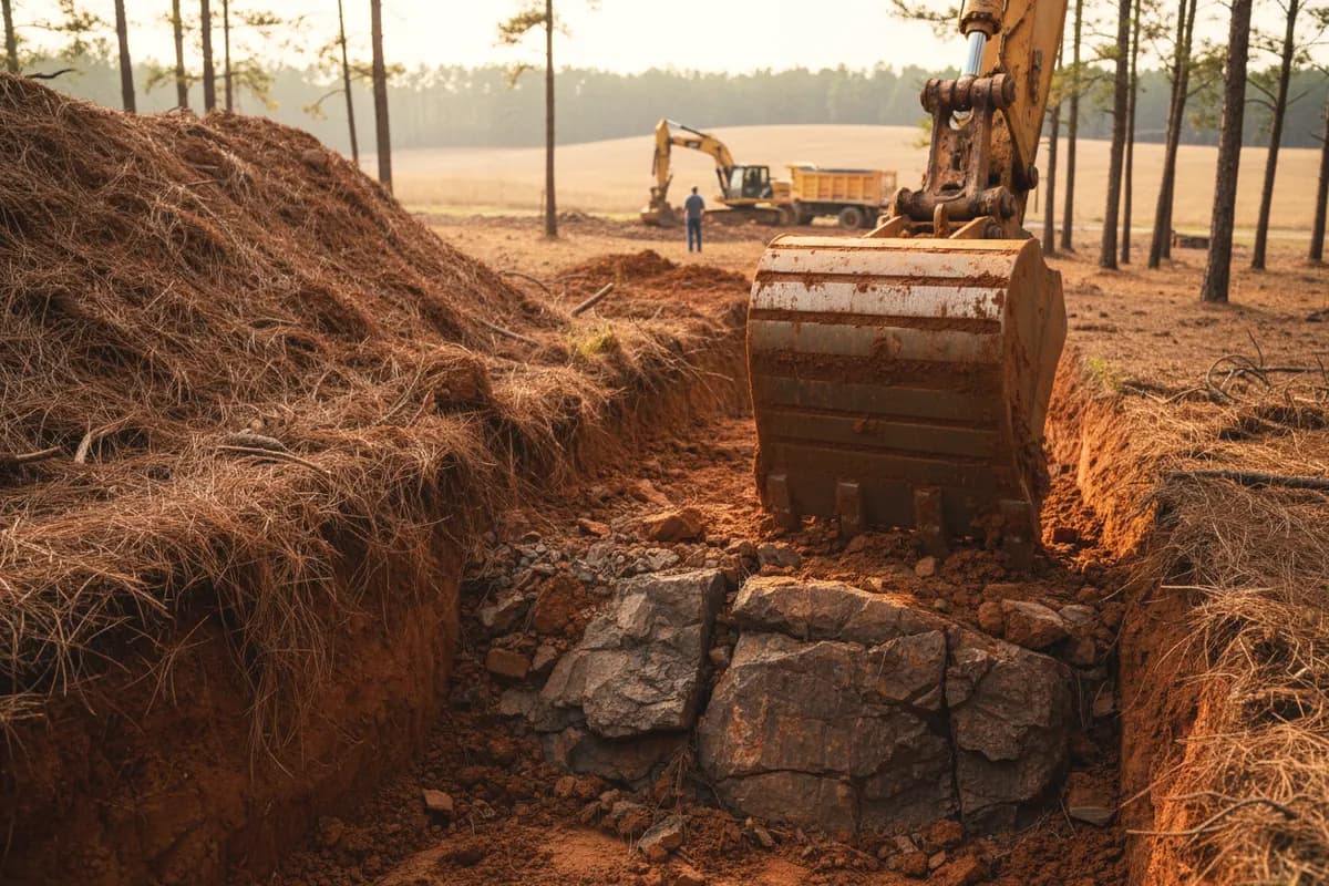
The ground itself changes fast. A Davidson or Cecil upland can give you five feet or more of dark red clay before anything hard shows up, while a Wilkes soil on a steep ridge side can hit soft, rotten rock 10 to 20 inches below the surface and true bedrock around four feet down (Wilkes series, NRCS). In the three-county soil survey that covers Putnam, Baldwin and Jones, Wilkes soils on 10 to 25 percent slopes alone cover about 46,800 acres (NRCS Soil Data Access). Two lots on the same cove can quote very differently for that reason, which is why we look at the ground before we price the dig.
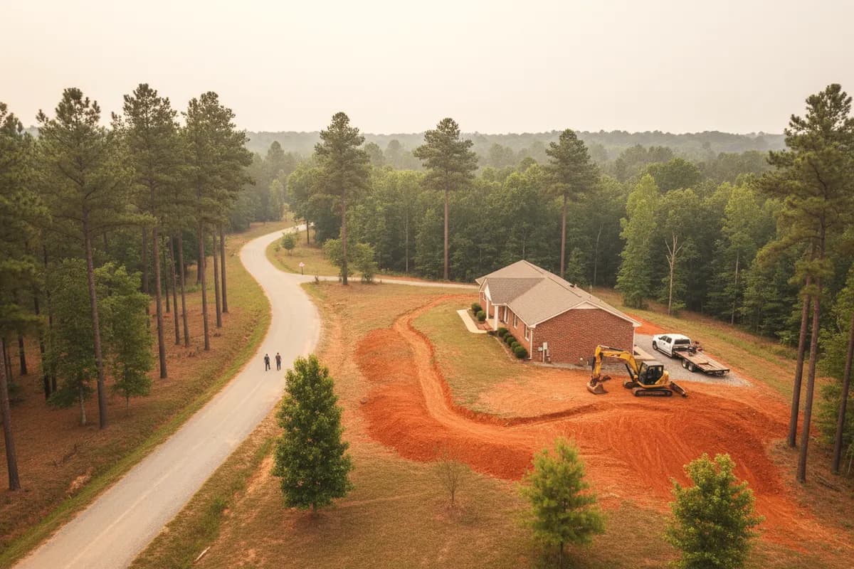
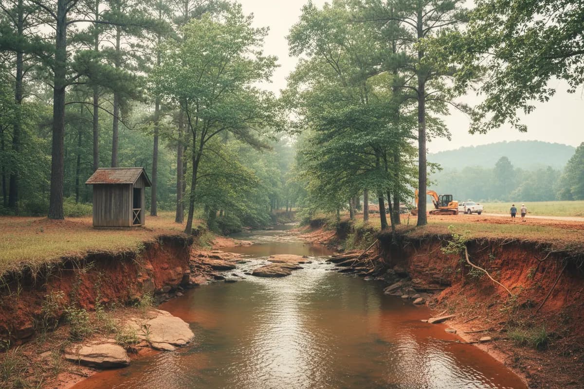
Then there's the lake's owner. Georgia Power's Lake Oconee guidelines say no work may be done on its property or inside the project boundary without a written permit, and they bar grubbing or reshaping the 25-foot vegetative buffer without approval (Georgia Power). On Lake Sinclair leased lots, new construction must sit outside the project boundary and at least 75 feet from the shoreline. So the excavation plan for a lake house is drawn from the water line inward: buffer first, then the dwelling setback, then the septic area and its repair area, then the driveway and the utility runs.
Seasonal use adds one more wrinkle. Many lake houses sit empty for weeks, so problems like a settled trench over a water line or a washout below a new pad can go unnoticed through a storm or two. We backfill in compacted lifts, shape the finished grade to shed water away from the foundation and the drain field, and leave bare ground stabilized rather than open.