GUIDE · LAKE LOT EROSION CONTROL
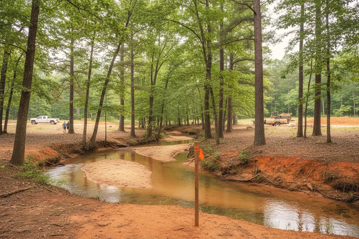
Erosion control on a Georgia lake lot: the buffer, the permits and what works on red clay
- Lake Oconee & Lake Sinclair
- Residential & commercial
- Free estimates
Get a free estimate
or call (678) 863-5620The short answer
What erosion control does a Georgia lake lot need?
A Georgia lake lot needs erosion controls installed before clearing, a 25-foot state buffer left undisturbed from the shoreline's wrested vegetation, and county land disturbance permits where required. On Lake Oconee, Georgia Power also bars mechanical grading in that buffer without written approval and allows new seawalls only where cut-bank erosion is evident.
Reviewed by A Class Septic Services · Last updated
Who does the work
One crew, raw ground to a working system
- Homes, lake lots and commercial properties around Lake Oconee & Lake Sinclair
- Septic systems and the clearing, grading, drainage and lines around them
- Ask for Brandon Mosley
- 10% off for military & first responders
Key facts
Lake-lot erosion rules at a glance
Each row links to the agency, code or publisher it comes from. Tap a source to check it yourself.
| Topic | What it says | Source |
|---|---|---|
| State buffer | 25 feet (50 on trout streams), measured from where wave action has wrested away vegetation | GA EPD: Field Guide for Determining the Presence of State Waters That Require a Buffer (2017), 2017 |
| Design standard | BMPs at least as stringent as the Manual for Erosion and Sediment Control in Georgia (the Green Book, 2016 edition) | Georgia Soil and Water Conservation Commission: Technical Guidance |
| Who may do the work | Anyone involved in land-disturbing activity must meet GSWCC education and certification requirements | Georgia Soil and Water Conservation Commission: Urban Erosion & Sediment Control |
| Greene County permit trigger | Over 1 acre, within 200 feet of state waters, or in a post-August 2000 common development | Greene County, GA: Erosion Control Permit Requirements |
| Greene NOI wait | 14 days after the EPD notice of intent is filed before permits issue | Same source as above |
| Lake Oconee buffer | No mechanical clearing, grubbing or contour change in the 25-foot buffer or on Georgia Power land without written approval | Georgia Power: Lake Oconee Shoreline Guidelines (PDF) |
| New Lake Oconee seawalls | Only where cut-bank erosion is evident; rip rap on the lake side, filter fabric behind, county and state permits | Same source as above |
| Riprap shoreline (national) | $70 to $400 per linear foot | HomeAdvisor: Sea Wall Cost (updated Jun 19, 2026), 2026 |
Plain definitions
Erosion terms, defined
- Wrested vegetation
- Wrested vegetation is the line where normal water flow or wave action has stripped plants from the bank; Georgia's buffer is measured from it, not from full pool.↗
- ES&PC plan
- An erosion, sedimentation and pollution control plan is the drawing that shows where silt fence, check dams, construction exits and stabilization go before soil is disturbed.↗
- Buffer variance
- A buffer variance is EPD permission to disturb land inside the 25-foot state buffer, usually paired with stormwater controls to make up for the lost vegetation.↗
- Riprap
- Riprap is a layer of large angular stone placed against a bank to absorb wave energy, set over filter fabric so soil does not wash out from behind it.↗
- Turbidity barrier
- A turbidity barrier is a floating curtain set in the water around shoreline work to keep muddy water from spreading into the lake.↗
How the job runs
Erosion control on a lake lot, in order
- 1
Survey the shoreline lines
Locate the Georgia Power project boundary and flag the 25-foot buffer from the point of wrested vegetation. On a reservoir, EPD says normal pool elevation is not the measuring line unless it matches that point.
GA EPD: Field Guide for Determining the Presence of State Waters That Require a Buffer (2017)
- 2
Get the county permit and plan
Apply for the county land disturbance permit and ES&PC plan. In Greene, a single-family home under an acre and more than 200 feet from state waters still needs a stand-alone plan, but the permit is issued at no charge.
- 3
Get Georgia Power's sign-off for anything near the water
Work inside the buffer or on project land needs the county's buffer permits first and then Georgia Power's written approval. Tree removal there is replanted 1:1 with native species.
- 4
Install controls before clearing
Silt fence on the contour below disturbed ground, a stone construction exit at the drive and inlet protection go in first, built to the Green Book.
Georgia Soil and Water Conservation Commission: Technical Guidance
- 5
Disturb in phases and stabilize fast
Open only what you can work, and seed, straw or mulch finished slopes promptly. Bare Piedmont clay sheds sediment with the first thunderstorm.
Georgia Soil and Water Conservation Commission: Technical Guidance
- 6
Protect the septic area
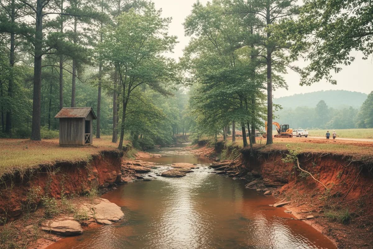
Keep fill and equipment off the permitted drain field. Grading or filling after the health department's final inspection that may affect the system voids its approval.
- 7
Handle shoreline work last and carefully
Seawall or riprap work on Lake Oconee needs a turbidity barrier before an old wall comes out, filter fabric behind new stone, and silt fence and straw on the backfill.
- 8
Maintain until it is green
Check controls after every rain. Georgia Power has silt fence removed once vegetation re-establishes, not before.
County by county
Lake-county erosion and setback notes
| County | Lake | Land disturbance permit | Shoreline note | Sources |
|---|---|---|---|---|
| Greene | Oconee | ES&PC plan, LDP and EPD NOI over 1 acre, within 200 ft of state waters or in a common development; single-family under 1 acre: stand-alone plan, LDP free | Septic lot sizing ignores land within 75 ft of Lake Oconee's high-water line | 1 |
| Putnam | Oconee and Sinclair | Putnam Planning and Development, 117 Putnam Drive, Suite B, also permits for Eatonton | A 2024 newspaper report says the county lake setback was cut from 100 to 65 ft; confirm in the current code | 12 |
| Morgan | Oconee (north) | Not published online in our sources; ask the county | The Lake Community character area covers about 25 miles of shoreline | 1 |
| Baldwin | Sinclair | Not published online in our sources; ask the county | Shoreline lots are densely packed residential with frontage at a premium | 1 |
| Hancock | Sinclair (east), Oconee (south) | Not published online in our sources; ask the county | Environmental Health is in the county only Tuesdays and Thursdays | 1 |
Last updated 2026-10-13. County ordinances change; confirm with the county before you disturb soil.
The whole story
Why lake banks here keep moving
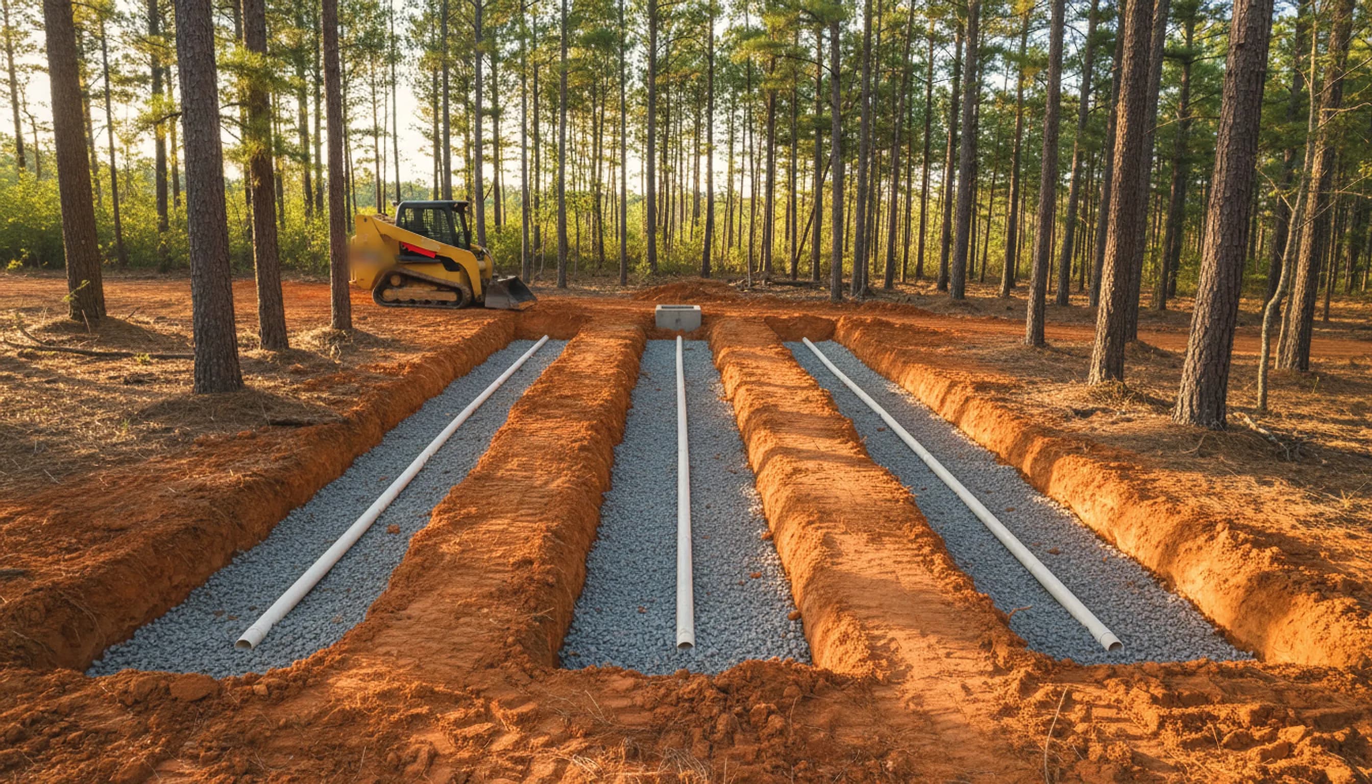
Lake Oconee is a pumpback reservoir. For normal operations Georgia Power lets it move between 435 and 433.5 feet plant datum and pumps it back up at night, so the waterline rises and falls along the same strip of bank most days. Add summer wakes from the main channel near the Highway 44 bridge and a clay bank with no roots holding it will undercut, slump and keep retreating.
On the land side, the problem is volume. A cleared lot on the ridge above a cove sends roof water, driveway water and bare-clay runoff downhill in one place unless it is spread out. Georgia Power's answer at the boundary is to end pipes there and use swales, French drains and dry creek beds instead.
Shoreline armor has limits. On Lake Oconee a new seawall is allowed only where cut-bank erosion is evident, Georgia Power notes that not every county can or will approve one, and no abutment of any type is allowed where wetlands are present. Riprap over filter fabric, with native plants behind it, is often the more permittable fix.
Worth knowing
Lake Sinclair: two Georgia Power numbers for new construction
Anyone grading for a new house on Lake Sinclair should know that Georgia Power's own documents disagree. The Sinclair Dwellings and Additions sheet says new construction, elevated decks included, must sit outside the project boundary and at least 75 feet from the shoreline, deferring to the county when its setback is larger. The combined Bartletts Ferry, Jackson and Sinclair guidelines say 50 feet outside the boundary, with 75 feet and FERC approval for dwellings that cannot be kept outside it.
We do not pick one. Confirm the number for your lot with Georgia Power's Lake Resources Office at 125 Wallace Dam Road in Eatonton before the house pad, driveway cut or erosion plan is drawn. The Sinclair submittal also asks for a land disturbing permit when more than an acre is disturbed.
Anyone grading for a new house on Lake Sinclair should know that Georgia Power's own documents disagree.
What it costs
Typical shoreline and slope costs
Riprap shoreline
$70–$400
per linear foot
Typical market range — HomeAdvisor: Sea Wall Cost (updated Jun 19, 2026), 2026
Seawall, residential
$100–$800
per linear foot
Typical market range — HomeAdvisor: Sea Wall Cost (updated Jun 19, 2026), 2026
Retaining wall (normal range)
$3,191–$9,202
per wall
Average $6,083.
Typical market range — HomeAdvisor: Retaining Wall Cost (updated Jun 19, 2026), 2026
Two-foot-high retaining wall
$40–$200
per linear foot
Typical market range — HomeAdvisor: Retaining Wall Cost (updated Jun 19, 2026), 2026
What moves the price
Typical third-party market ranges, not our prices. Estimates from A Class Septic Services are free.
Free estimate: (678) 863-5620- 01PermitsCounty, EPD buffer and Georgia Power approvals can each add time and design work.
- 02AccessSteep lots and narrow drives limit equipment; some shoreline work is easier from the water.
- 03Bank height and exposureA tall bank facing the main channel takes more stone than a protected cove.
- 04StabilizationSeed, straw, matting and native plantings are part of the job, not an extra.
FAQ
Lake lot erosion control questions
Straight answers, with the rule or record behind them. Still unsure? Call and ask the crew that digs.
(678) 863-5620How wide is the stream and lake buffer in Georgia?
Georgia's state-mandated buffer is 25 feet, or 50 feet on trout streams, measured horizontally from the point where vegetation has been wrested by normal stream flow or wave action. On reservoirs like Oconee and Sinclair, EPD says normal pool elevation should not be used as the starting line unless it matches that point.
Source: GA EPD: Field Guide for Determining the Presence of State Waters That Require a Buffer (2017)
Can I build a seawall on Lake Oconee?
Only where cut-bank erosion is evident. Georgia Power's guidelines require county and state permits, rip rap on the lake side, filter fabric behind the wall, backfill stabilized with silt fence and straw, and a turbidity barrier before an existing wall is removed. Not every county will approve one, and none is allowed where wetlands are present.
Source: Georgia Power: Lake Oconee Shoreline Guidelines (PDF)
Do I need a permit to grade my lake lot in Greene County?
Greene requires an erosion plan, a land disturbance permit and an EPD notice of intent when work disturbs more than an acre, sits within 200 feet of state waters, or is in a common development started on or after August 2000. Lakefront lots almost always fall inside that 200-foot line. Smaller single-family jobs still need a stand-alone plan.
Source: Greene County, GA: Erosion Control Permit Requirements
Is there a seawall exemption from the state buffer?
EPD's field guide notes that bulkheads, seawalls, retaining walls and rip rap usually have no buffer because there is no wrested vegetation. Building new shoreline stabilization inside the buffer is another matter: EPD's guidance says doing it without a required variance violates the Erosion and Sedimentation Act.
Source: GA EPD: Streambank and Shoreline Stabilization Guidance (July 2007)
What does a buffer variance require?
EPD's 2022 buffer mitigation guidance asks for on-site stormwater controls that either retain the first 1.0 inch of rainfall or treat runoff from the first 1.2 inches to cut post-development total suspended solids by 80%. Single-family homes have some exclusions, and minor landscaping and repairs may qualify as minor land disturbance.
Who can install erosion controls in Georgia?
The Georgia Soil and Water Conservation Commission says anyone involved in land development, design, permitting, construction, inspection or any land-disturbing activity must meet its education requirements and be certified. Controls must meet the Manual for Erosion and Sediment Control in Georgia in effect on January 1 of the year the disturbance was permitted.
Source: Georgia Soil and Water Conservation Commission: Urban Erosion & Sediment Control
Can grading on my lot affect my septic permit?
Yes. Georgia's rule says grading, filling or construction after the final inspection that may affect a septic system voids its approval. Before installation, if grading or cuts will change the depth of a proposed absorption field, the soil evaluation and percolation tests must be redone after the changes.
Source: GA DPH Manual for On-Site Sewage Management Systems (March 2026), Section B: General Site Provisions
Why does my Lake Oconee shoreline keep eroding?
Part of it is how the lake runs. Georgia Power lets Lake Oconee move between 435 and 433.5 feet plant datum in normal daily operations and pumps it back up at night, so water works the same band of bank again and again. Boat wakes and bare clay above the waterline add to it.
Source: Georgia Power: Wallace Dam Operations (relicensing document)
Keep going
Related services, places and guides
- Erosion control and land drying
- French drains for slopes and seeps
- Lot grading and driveway preparation
- Lake lot clearing
- Lake Oconee site work
- Lake Sinclair site work
- Greene County erosion control
- Putnam County erosion control
- Baldwin County erosion control
- Hancock County erosion control
- Morgan County erosion control
- Georgia Power shoreline rules for septic
- Land clearing costs and burn rules
- French drain vs storm drain
Sources
Where these facts come from
Rules, costs and local facts on this page link to the agency, code or publisher that states them. Cost figures are third-party market ranges, not our prices — estimates are free.
Reviewed by A Class Septic Services · Last updated
- 1GA EPD: Field Guide for Determining the Presence of State Waters That Require a Buffer (2017) (2017)
- 2GA EPD: Streambank and Shoreline Stabilization Guidance (July 2007) (2007)
- 3GA EPD: Buffer Mitigation Guidance (May 2022) (2022)
- 4Georgia Soil and Water Conservation Commission: Technical Guidance
- 5Georgia Soil and Water Conservation Commission: Urban Erosion & Sediment Control
- 6Greene County, GA: Erosion Control Permit Requirements
- 7Georgia Power: Lake Oconee Shoreline Guidelines (PDF)
- 8Georgia Power: Sinclair Dwellings and Additions (PDF)
- 9Georgia Power: Bartletts Ferry, Jackson, & Sinclair Shoreline Guidelines (PDF)
- 10Georgia Power Lakes: Shoreline Management
- 11Georgia Power: Wallace Dam Operations (relicensing document)
- 12GA DPH Manual for On-Site Sewage Management Systems (March 2026), Section B: General Site Provisions (2026)
- 13Ga. Comp. R. & Regs. r. 511-3-1-.03, General Requirements for On-Site Sewage Management Systems (LII)
- 14HomeAdvisor: Sea Wall Cost (updated Jun 19, 2026) (2026)
- 15HomeAdvisor: Retaining Wall Cost (updated Jun 19, 2026) (2026)
- 16Eatonton Messenger, July 3, 2024: Putnam BOC changes to setback ordinance (2024)
- 17Putnam County, GA: Planning and Development
- 18Morgan County and Cities Joint Comprehensive Plan 2022 (GA DCA) (2022)
- 192023 Baldwin County Joint Comprehensive Plan (GA DCA) (2023)
- 20North Central Health District: Hancock County Environmental Health Department
Ready when you are
Rather have a pro look at it? Call the crew that digs.
A lake lot answers to three sets of rules at once: the state's erosion law, the county's land disturbance permit and Georgia Power's shoreline guidelines. This guide lines them up and covers the practical work in between.
(678) 863-5620- Lake Oconee & Lake Sinclair
- Residential & commercial
- 10% off for military & first responders
Free estimate
or call (678) 863-5620