10% offfor military & first responders
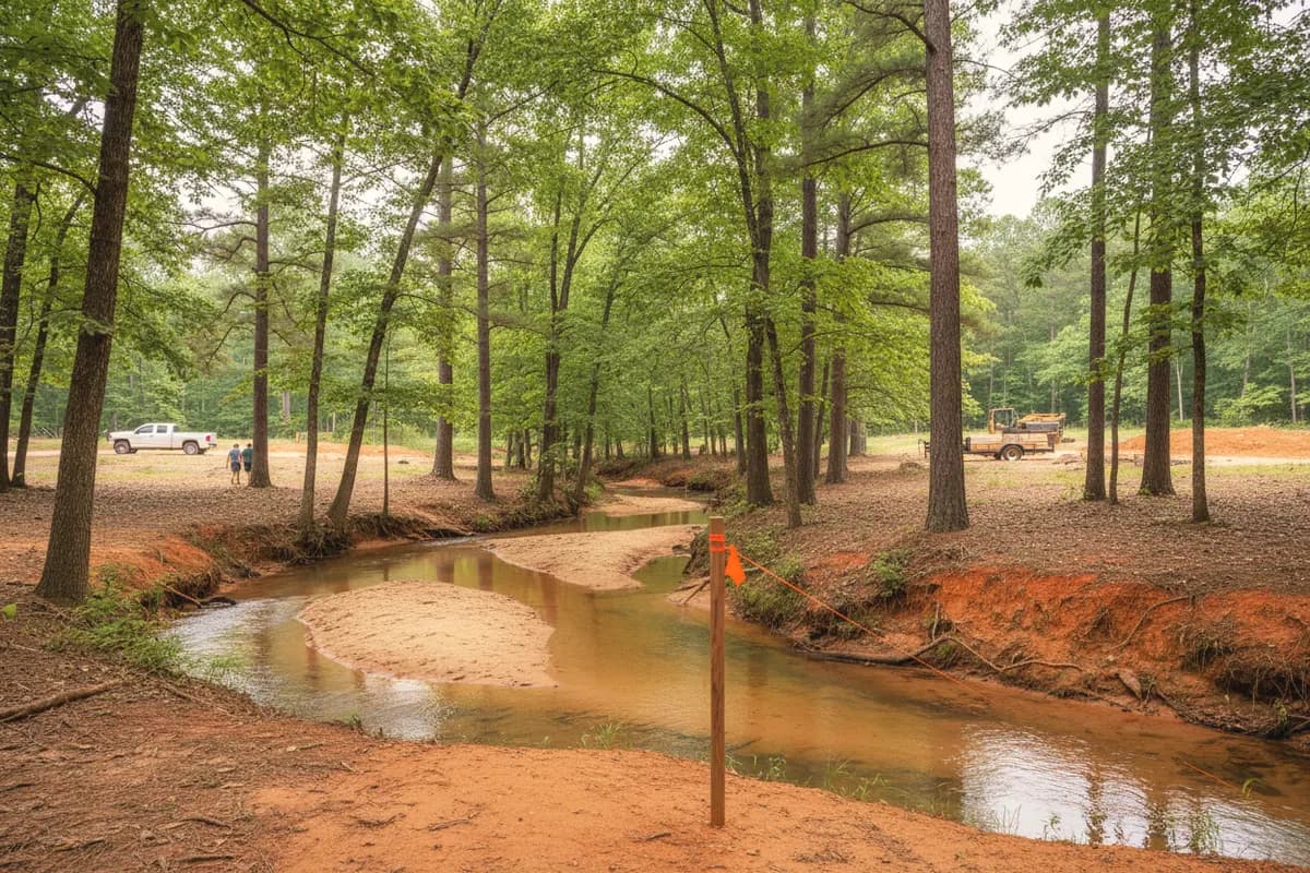
A sandy-bottomed creek with eroded red clay banks winding through pine and hardwood woods, a survey stake with orange flagging on the bank.

EROSION CONTROL · LAKE OCONEE & SINCLAIR

Erosion control and land drying for Lake Oconee and Lake Sinclair properties

Bare Piedmont clay on a slope washes fast, and on a lake lot it washes straight into water Georgia Power and the state both protect. We stabilize slopes, control sediment during site work, and dry out ground that will not stop running.
  • Lake Oconee & Lake Sinclair
  • Residential & commercial
  • Free estimates

Get a free estimate

or call (678) 863-5620

Property type
What do you need?
Rather talk? (678) 863-5620
Where's the property?
Is it a lake lot? (optional)
Who should we call?

By submitting, you agree we may call or text you about this request. Privacy.

The short answer

What does erosion control mean on a Georgia lake lot?

Erosion control keeps soil in place on disturbed or sloping ground with silt fence, mulch, seeding, matting, riprap and drainage. Georgia protects a 25-foot vegetated buffer along state waters, and Georgia Power bars mechanical clearing of that buffer and its land on Lake Oconee without written approval. Exposed ground should be mulched or seeded within 14 days.

Reviewed by A Class Septic Services · Last updated

Who does the work

One crew, raw ground to a working system

  • Homes, lake lots and commercial properties around Lake Oconee & Lake Sinclair
  • Septic systems and the clearing, grading, drainage and lines around them
  • Ask for Brandon Mosley
  • 10% off for military & first responders
(678) 863-5620

Key facts

Erosion control on Lake Oconee and Lake Sinclair: the key facts

Each row links to the agency, code or publisher it comes from. Tap a source to check it yourself.

State erosion rules, Georgia Power shoreline rules and typical market ranges for erosion control in the lake counties, each with its source.
TopicWhat it saysSource
State waters buffer25 feet along the banks of all state waters, measured from the point where vegetation has been wrested by normal stream flow or wave action.GSWCC Model Soil Erosion, Sedimentation and Pollution Control Ordinance (revised June 2016), 2016
Lake Oconee and Lake Sinclair seawallsThe 25-foot buffer rule makes an exception for bulkheads and seawalls installed to prevent shoreline erosion on these two lakes.Same source as above
Georgia Power buffer on Lake OconeeNo mechanical clearing, grubbing or change to the land contour in the 25-foot vegetative buffer or on Georgia Power land without its written approval.Georgia Power — Lake Oconee Shoreline Guidelines (2026), 2026
Stabilize exposed soilApply mulch or temporary grass to all exposed areas within 14 days of disturbance.GSWCC Field Manual for Erosion & Sediment Control in Georgia (2016 edition), 2016
Silt fence on tall slopesType C silt fence (36 inches wide with wire backing) where runoff is fast or slopes exceed a vertical height of 10 feet.Same source as above
Land-disturbing permit threshold (single-family home)Home construction disturbing less than 1 acre, and not part of a larger plan, is exempt from the permit but must still meet minimum erosion requirements.GSWCC Model Soil Erosion, Sedimentation and Pollution Control Ordinance (revised June 2016), 2016
Hydroseeding cost$0.07 to $0.21 per square foot (typical market range, LawnStarter, 2026).LawnStarter — How Much Does Hydroseeding Cost in 2026? (updated October 5, 2026), 2026
Erosion control blanket or grid$0.65 to $1.60 per square foot (typical market range, Lawn Love, 2026).Lawn Love — How Much Does Land Grading Cost in 2026? (updated October 9, 2026), 2026

Plain definitions

Erosion control terms

Erosion
Soil being detached and moved by rain, runoff or waves; sedimentation is where that soil ends up, in ditches, coves and streams.
Silt fence
A fabric barrier trenched into the ground along the contour that ponds sediment-laden runoff so soil settles out before water leaves the site.↗
Riprap
Layers of large angular stone over filter fabric that armor a bank, channel or pipe outlet against moving water.↗
Local Issuing Authority (LIA)
The county or city that issues land-disturbing permits and enforces the Erosion and Sedimentation Act locally; EPD keeps the list.↗
Wrested vegetation line
The point on a bank where normal stream flow or wave action has stripped vegetation; Georgia measures the 25-foot buffer from it.↗
Land drying
Draining and reshaping ground that stays saturated, with French drains, swales and grading, so it stops failing, slumping or eroding.

The whole story

Why lake lots erode, and why it matters more here

The ground around the two lakes is built to erode. NRCS maps Wilkes soils on 10 to 25 percent slopes over tens of thousands of acres in the Baldwin, Jones and Putnam survey area, and most lake lots step down from road to water on clay that sheds rain instead of absorbing it. Clear the trees and leaf litter for a house, a drain field or a driveway, and the first summer storm cuts rills into the bare slope.

The shoreline erodes from the other side. Lake Sinclair alone has about 417 miles of shoreline, and boat wakes and wind waves undercut banks that were never meant to be a lakefront. Georgia Power only accepts new seawall requests on shorelines with evident cut-bank erosion, requires riprap on the lake side of any new or replacement seawall, and encourages rip-rap seawalls because they disturb less and need less upkeep.

The rules overlap. The state's erosion law protects a 25-foot buffer along all state waters, measured from the wrested vegetation line, though it carves out an exception for bulkheads and seawalls on Lake Oconee and Lake Sinclair. Georgia Power separately protects that same 25-foot strip and its own project land on Lake Oconee, and bars mechanical clearing or regrading there without written approval. And the county is the Local Issuing Authority for any land-disturbing permit. Erosion work near the water has to satisfy all three.
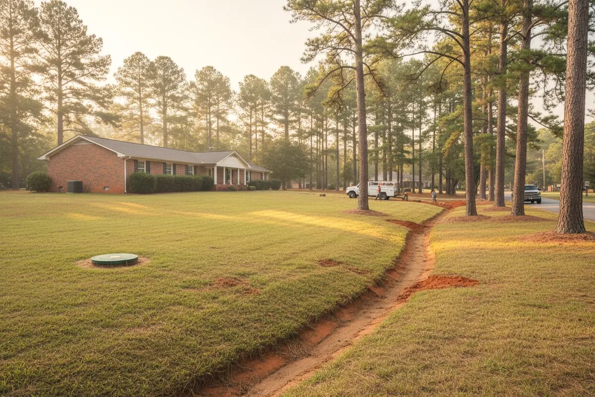
A shallow red clay drainage cut curving along the lawn of a brick ranch house on a large pine-shaded lot, a green septic riser lid in the yard.
Illustrative photo.

How the job runs

How we stabilize a site or a slope

  1. 1

    Read the water

    We find where runoff enters the site, where it concentrates, and where it leaves. Most erosion is a drainage problem first.

  2. 2

    Check the buffers and the permits

    We confirm the wrested vegetation line, any Georgia Power project boundary, and whether the work needs a county land-disturbing permit or a Georgia Power permit before a machine moves.

    Georgia Power — Lake Oconee Shoreline Guidelines (2026)

  3. 3

    Install perimeter controls first

    Silt fence goes in along the contour below the work, with posts driven 18 inches. Along state waters and other sensitive areas the field manual calls for two rows of sensitive-area barrier at least 36 inches apart.

    GSWCC Field Manual for Erosion & Sediment Control in Georgia (2016 edition)

  4. 4

    Divert clean water around the work

    Water from uphill is steered around bare ground with berms, swales or a curtain drain so it never picks up soil to begin with.

  5. 5

    Keep the disturbed area small

    Georgia's ordinance asks that the disturbed area and the time it is exposed be kept to a practicable minimum, so we open ground in stages instead of all at once.

    GSWCC Model Soil Erosion, Sedimentation and Pollution Control Ordinance (revised June 2016)

  6. 6

    Stabilize as you go

    Exposed areas get mulch or temporary grass within 14 days; finished slopes get permanent seed, erosion blanket or riprap, depending on steepness and flow.

    GSWCC Field Manual for Erosion & Sediment Control in Georgia (2016 edition)

  7. 7

    Armor outlets and banks

    Pipe outlets and channel bends get riprap aprons over filter fabric. On the shoreline, any seawall work follows Georgia Power's rules for riprap, filter fabric, silt fence and turbidity barriers.

    Georgia Power — Lake Oconee Shoreline Guidelines (2026)

Permits & the Georgia rules

The rules for erosion control near Lake Oconee and Lake Sinclair

Erosion control is required on almost every site, but whether a permit is needed depends on acreage, proximity to water and whether Georgia Power land is involved.
  1. 01

    Find your county's Local Issuing Authority on EPD's list; it issues land-disturbing permits and enforces buffers locally.↗

  2. 02

    Projects of 1 acre or more (or part of a larger plan of that size) need a land-disturbing permit and an erosion plan; single-family homes under 1 acre are exempt from the permit but not from the minimum practices.↗

  3. 03

    On Georgia Power lease lots at Lake Sinclair, a new dwelling submission lists a land-disturbing permit (if over 1 acre) and any county buffer variance.↗

  4. 04

    Work inside the 25-foot buffer or on Georgia Power land on Lake Oconee needs Georgia Power's written approval and any county or state permits first.↗

  5. 05

    Buffer encroachments beyond the listed exemptions need an EPD buffer variance, which is void if the work is not finished within five years.↗

Georgia rule Model E&S Ordinance, IV.C.15

“a 25 foot buffer along the banks of all state waters, as measured horizontally from the point where vegetation has been wrested”
Read the rule

Georgia rule Georgia Power, Lake Oconee

“No mechanical clearing (e.g., grubbing or changing the existing land contour) will be permitted without prior written approval from GPC.”
Read the rule

Georgia rule GSWCC Field Manual, Ds1/Ds2

“Apply mulch or temporary grassing to all exposed areas within 14 days of disturbance.”
Read the rule

How it varies by county

  • Putnam (both lakes)

    Georgia Power's East Georgia Lakes office in Eatonton handles Oconee and Sinclair shoreline permits.↗

  • Any county

    The Local Issuing Authority may set buffer requirements stricter than the state minimum.↗

What it costs

What erosion control typically costs

Erosion control is priced by the square foot for surface treatments and by the linear foot for walls and barriers. The ranges below are national figures from cost guides.

What moves the price

These are third-party typical market ranges, not A Class Septic Services prices. Estimates are free.

Free estimate: (678) 863-5620
  1. 01Slope steepnessSteeper ground needs blankets, terraces or rock instead of seed and straw alone.
  2. 02Concentrated flowWhere water channels, vegetation alone fails; lined swales, check dams and riprap cost more but hold.
  3. 03Shoreline accessGetting stone and machines to a lakefront bank without crossing protected ground can take more time than the work itself.
  4. 04Permits and approvalsGeorgia Power permits, county land-disturbing permits and buffer variances add lead time.
  5. 05Ongoing maintenanceSilt fence must be maintained until the site is stabilized; failing to maintain it is itself a violation.

Your options

Choosing an erosion control method

OPTION 01

Mulch, seed and erosion blanket

When it fits: Moderate slopes with sheet flow, finished grading around a new house or septic system.

  • Lowest cost
  • Becomes permanent vegetation
  • Allowed in most buffer situations
  • Needs a growing season
  • Fails under concentrated flow

OPTION 02

Silt fence and sediment traps

When it fits: During construction, below any bare ground, until the site is stabilized.

  • Required practice on most sites
  • Catches soil before it leaves
  • Temporary
  • Must be maintained and removed after stabilization

OPTION 03

Riprap and rock-lined channels

When it fits: Pipe outlets, ditches with fast water, and lake banks under wave attack.

  • Handles high-velocity water
  • Long-lived
  • Heavy material to haul and place
  • Shoreline use needs Georgia Power approval

OPTION 04

Drainage fixes

When it fits: Erosion is caused by water arriving from somewhere else: a roof, a road, a neighbor's lot.

  • Treats the cause
  • Needs a legal outlet

See French drains and storm drains.

Warning signs

Signs your property is eroding

Watching your yard wash away? Call (678) 863-5620

  • 1. Rills and gullies on bare slopesSmall channels deepen with every storm until they undermine whatever is above them.
  • 2. Red water in the cove after rainA visible sediment plume means soil is leaving the lot.
  • 3. Exposed tree roots on the bankWaves and runoff are removing the soil the bank stands on.
  • 4. Undercut or collapsing shorelineA vertical, raw bank face is the cut-bank erosion Georgia Power looks for when considering a seawall.
  • 5. Sediment piled at the bottom of the driveSilt fans show where runoff is carrying soil off the slope.

FAQ

Erosion control questions

Straight answers, with the rule or record behind them. Still unsure? Call and ask the crew that digs.

(678) 863-5620

Do I need a permit for erosion control on my lake lot?

It depends where the work is. Any work on Georgia Power land or inside the 25-foot vegetative buffer on Lake Oconee needs Georgia Power's written approval first, plus any county or state permits. Away from the water, a county land-disturbing permit is generally required at 1 acre or more of disturbance; smaller single-family projects still have to follow the minimum practices.

Source: Georgia Power — Lake Oconee Shoreline Guidelines (2026)

What is the stream buffer rule in Georgia?

Georgia keeps a 25-foot buffer along the banks of all state waters, measured horizontally from the point where vegetation has been wrested by normal stream flow or wave action, and 50 feet along trout streams. No land-disturbing activity is allowed in it until the site is finished, except listed exemptions or an approved variance. Counties may set wider buffers.

Source: GSWCC Model Soil Erosion, Sedimentation and Pollution Control Ordinance (revised June 2016)

Can I build a seawall on Lake Oconee or Lake Sinclair?

Possibly. State law exempts seawalls built to prevent shoreline erosion on these two lakes from the 25-foot buffer rule, but Georgia Power only considers new seawalls where cut-bank erosion is evident, requires county and state permits, and requires riprap on the lake side of any new or replacement wall. It favors rip-rap seawalls for their lower disturbance.

Source: Georgia Power — Lake Oconee Shoreline Guidelines (2026)

How fast does bare soil need to be covered?

Georgia's erosion field manual says to apply mulch or temporary grass to all exposed areas within 14 days of disturbance. That is the standard most county inspectors look for. On a slope above the lake, sooner is better: one summer thunderstorm on freshly graded clay can move more soil than weeks of gentle rain.

Source: GSWCC Field Manual for Erosion & Sediment Control in Georgia (2016 edition)

Can I clear trees along my shoreline to stop erosion?

Generally not on your own. Georgia Power only considers tree removal on its land for hazards or construction, requires replanting at a 1:1 ratio when it allows cutting, and may require a landscape plan. Roots hold the bank, so removing trees usually speeds erosion. Thinning and trimming are allowed in the state buffer only if protective cover and canopy remain.

Source: Georgia Power — Lake Oconee Shoreline Guidelines (2026)

How much does erosion control cost?

National guides put hydroseeding at about $0.07 to $0.21 per square foot (LawnStarter, 2026), erosion grid or blanket at $0.65 to $1.60 per square foot, and retaining walls at $40 to $345 per linear foot (Lawn Love, 2026). Most lake-lot jobs combine several methods, and access to the shoreline can matter as much as square footage.

Source: LawnStarter — How Much Does Hydroseeding Cost in 2026? (updated October 5, 2026)

What is land drying?

Land drying means fixing ground that stays saturated so it stops slumping, rutting and eroding. It usually combines subsurface drainage like French drains with grading that sends surface water off the site and stabilization of the reshaped ground. Wet ground erodes and fails more easily than dry ground, which is why drainage and erosion control are often one job.

Can I plant grass down to the water on Lake Oconee?

Only in limits. Georgia Power discourages turfgrass inside the project boundary and the 25-foot state buffer, may allow up to 30 percent approved turf coverage where it is permissible, and permits none in some locations. It recommends native trees, shrubs and perennials, which hold soil better and filter runoff before it reaches the lake.

Source: Georgia Power — Lake Oconee Shoreline Guidelines (2026)

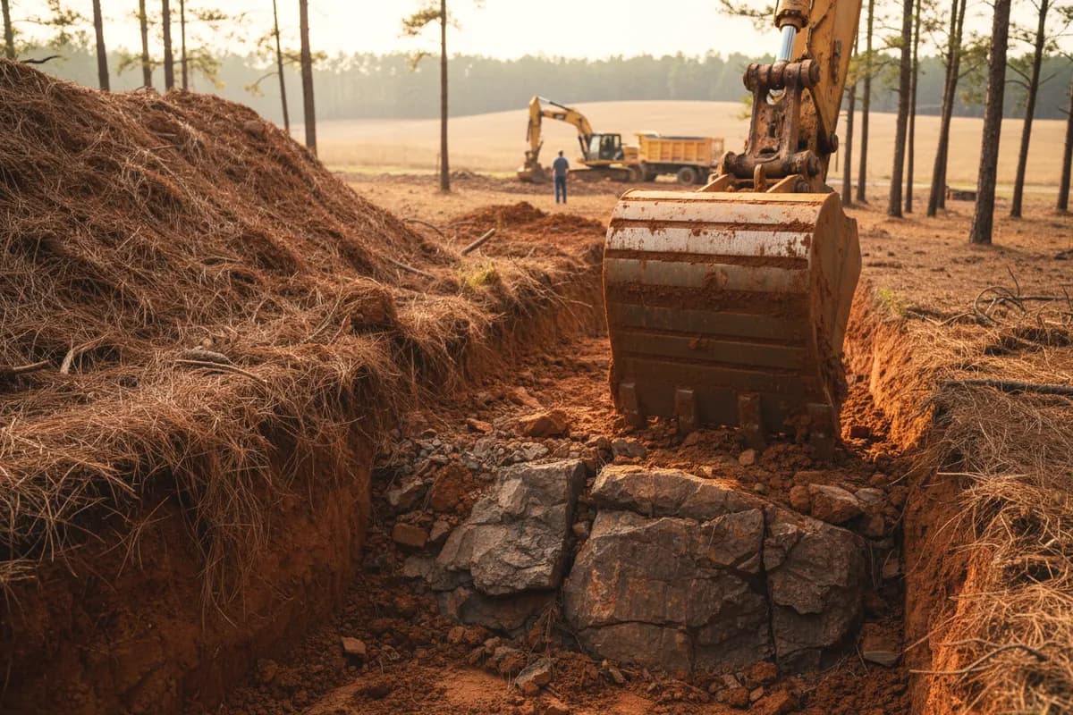
An excavator bucket at the bottom of a deep trench where red subsoil gives way to gray weathered rock, a dump truck in the field beyond.

Ready when you are

Need erosion control? Call the crew that digs.

Bare Piedmont clay on a slope washes fast, and on a lake lot it washes straight into water Georgia Power and the state both protect. We stabilize slopes, control sediment during site work, and dry out ground that will not stop running.

(678) 863-5620

Property type
What do you need?
Rather talk? (678) 863-5620
Where's the property?
Is it a lake lot? (optional)
Who should we call?

By submitting, you agree we may call or text you about this request. Privacy.

Call nowFree Estimate